Tsunami wave simulation for Washington State
Tsunami wave simulation for Washington State
Open link in next tab
Tsunami wave simulation for Washington State
https://www.youtube.com/watch?v=e5PJQW_6k6M
Tsunami wave simulation for Washington State from a hypothetical magnitude 9.0 earthquake (L1) scenario on the Cascadia subduction zone. Developed by Washing...
Eastern WA Officers Responding to a Shooting Find Multi-Million Dollar Illegal Pot Farm
Eastern WA Officers Responding to a Shooting Find Multi-Million Dollar Illegal Pot Farm
Open link in next tab
https://www.tri-cityherald.com/news/local/crime/article277692073.html
Cantwell holds fentanyl roundtable as WA becomes overdose epicenter
Cantwell holds fentanyl roundtable as WA becomes overdose epicenter
Open link in next tab
archive.ph
https://archive.ph/rMHQl#selection-2029.36-2029.72
Comprehensive Map of Seattle Construction Projects
Comprehensive Map of Seattle Construction Projects
Open link in next tab
https://www.seattleinprogress.com/
Seattle in Progress is a mobile web app that gives you easy access to design proposals for buildings being planned in Seattle. It lets you stay informed on changes in your neighborhood and alerts you to opportunities to give your input.
Historical Photos Capture The Street Scenes of Seattle from between the 1930s and 1940s
Historical Photos Capture The Street Scenes of Seattle from between the 1930s and 1940s
Open link in next tab
https://rarehistoricalphotos.com/seattle-historical-photos-1930s-1940s/
Flattening Hills to Build Seattle, 1905-1930
Flattening Hills to Build Seattle, 1905-1930
Open link in next tab
https://rarehistoricalphotos.com/seattle-regrading-old-photographs/
Some Washington public schools partnering with tribes to bring Indigenous languages into classrooms
Some Washington public schools partnering with tribes to bring Indigenous languages into classrooms
Open link in next tab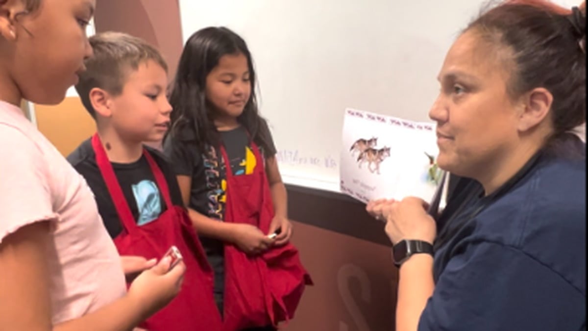
Some Washington public schools partnering with tribes to bring Indigenous languages into classrooms
https://www.opb.org/article/2023/07/09/washington-public-schools-partner-with-tribes-indigenous-languages/
A number of Washington state public schools are partnering with tribes to bring Indigenous languages into classrooms in an effort to rectify the marred history of Native American boarding schools.
Pasco WA to be Home to New 242,115ft² Greenhouse
Pasco WA to be Home to New 242,115ft² Greenhouse
Open link in next tab
archive.ph
https://archive.ph/FCnsb#selection-1279.56-1279.64
Washington Sate Faultlines | WA - DNR
Washington Sate Faultlines | WA - DNR
Open link in next tab
Earthquakes and Faults | WA - DNR
https://www.dnr.wa.gov/programs-and-services/geology/geologic-hazards/earthquakes-and-faults
This map shows areas of seismic risk from high (red) to low (grayish-green). The map is from a 2007 report (click here to download) on seismic design categories in Washington. The map also shows potentially active faults from a separate 2014 report (click here to download). Earthquakes occur nearly every day in Washington. Most are too small to be felt or cause damage. Large
Lawmakers eyeing ways to keep troopers on WA roads after years of attrition
Lawmakers eyeing ways to keep troopers on WA roads after years of attrition
Open link in next tab
archive.ph
https://archive.ph/1VvCK#selection-2081.0-2085.109