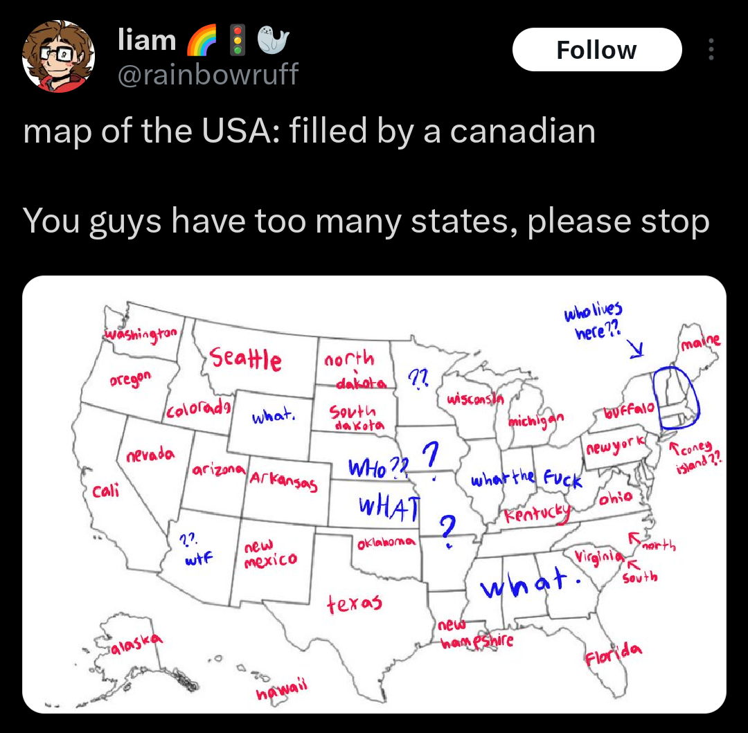
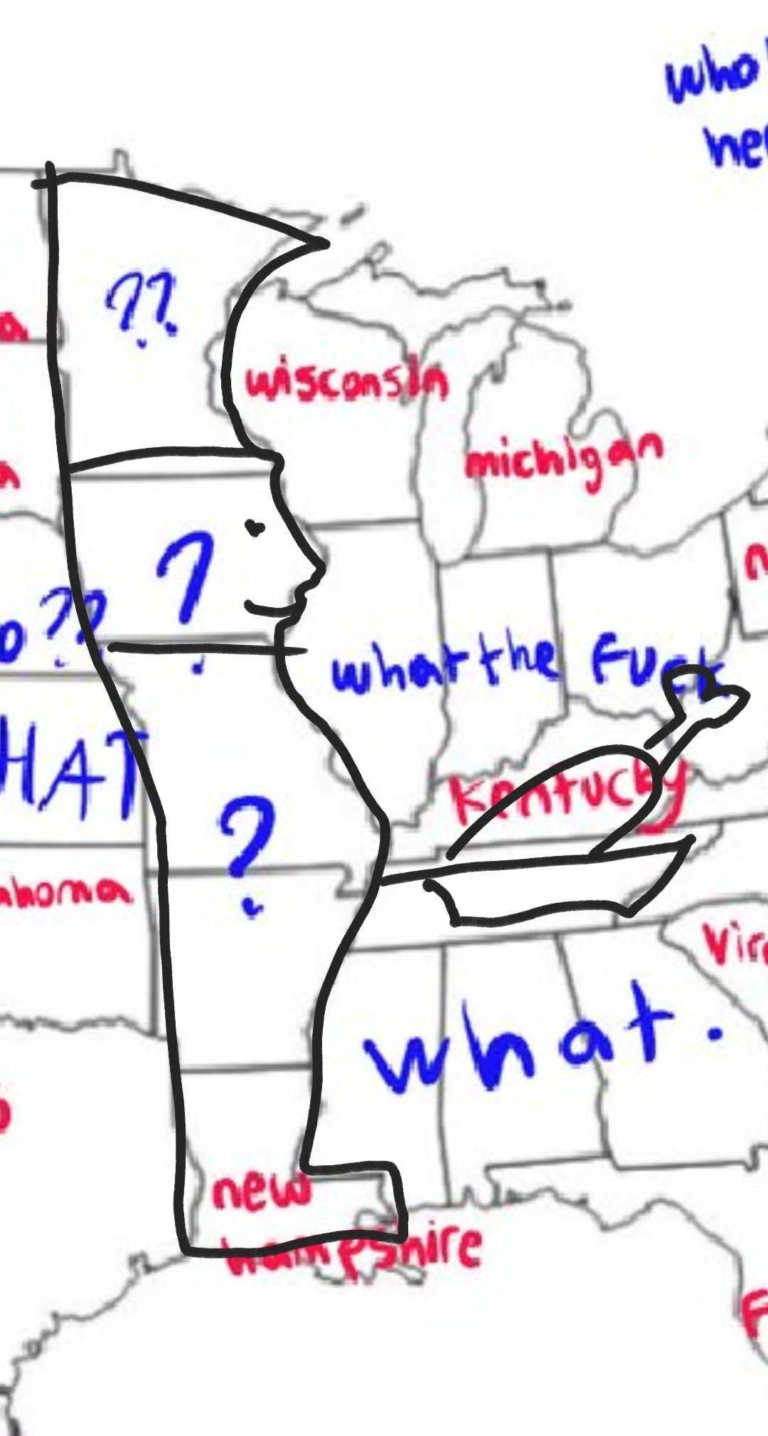
I'm glad they know the trick for Kentucky (a chef outline cooking Kentucky Fried Chicken)
I’m gonna mix most of the interior ones up and totally forget that Montreal isn’t called Quebec.
Now the hard mode is Mexico. They have enough states to be confusing and not enough presence in English internet to be memorable
I could have gotten Baja California and Puebla. 50:50 on Yucatán, because Quintana Roo (which I don’t believe I knew existed, even after 11 years of Spanish classes in the US- that’s straight up shameful) is also on the peninsula.
Holy shit, there’s 31 states. I am going to do some reading because I did not realize how little I knew. I’ve even taken college level Latin American History classes as part of a Spanish minor, but they focused on precolumbian history and American political influence (euphemistically).
The spot near the border is called Toronto, everything else is Alaska junior. There is a small swamp somewhere called "Quebec". Up north is something beautiful called the Aurora Rae Jepsen.
How'd I do?
East to west along the US border is Quebec, Ontario, Manitoba?, Alberta?, and BC. I think.
Then there’s Nunavut. And maybe Nova Scotia, New Brunswick and Newfoundland? I’m realizing I have no idea how many provinces Canada has
Edit: Looked it up and I definitely missed a few
Interesting claim, let's see:
Afghanistan, Algeria, Angola, Argentina*, Armenia, Bulgaria, Burundi, Cambodia, Canada*, China, The Democratic Republic of the Congo, Costa Rica, Cuba, The Dominican Republic, Ecuador, Equatorial Guinea, Gabon, Indonesia, Iran, Laos, Mongolia, Mozambique, Nepal*, Netherlands (country, not kingdom), North Korea, Pakistan*, Panama, Papua New Guinea, Poland, Rwanda, Sierra Leone, The Solomon Islands, South Africa, South Korea, Sri Lanka, Thailand, Tonga, Turkey, Vanatu, Vietnam, Zambia, Zimbabwe, and Taiwan (to some extent), all use Provinces.
While Australia*, Austria*, Brazil*, Germany*, India*, Malaysia*, Mexico*, The Federated States of Micronesia*, Myanmar, Nigeria*, Palau, Somalia*, South Sudan*, Sudan*, The United States*, and Venezuela*, all use States.
More interestingly, the asterisks denote federal systems of government (the rest are mostly unitary or regional). Almost every state system is also a federal system, while most provinces aren't sovereign.
Thus, Canada is the weird one out, basically using states while calling them less than states. As usual, they do everything backward. I'm so proud! 🇨🇦
TBH, if Canada wasn't subject to harsher winters compared to what I can tolerate, I would move there myself.
My rage at them getting New York wrong is only quelled in knowing that they pissed off many Pennsylvanians in the process.
With the number of hockey players and associated rivalries churned out by that circle I question the OP's Canadian credentials.
Don't mind me, just doing my daily 10 (12? 14?) hour commute from western Washington, across the Cascades and the Rockies, to Seattle.
Oof. I'd rate Ohio as one of the more memorable/unique shapes like Texas, Florida, Oklahoma, etc
I’m from the Midwest and when I travel overseas I just tell people I live “near Chicago” cuz it’s the only place between the Rockies and the Appalachians people reliably know.
come on now, wyoming is memorable for being so utterly fucking devoid of people that the entire state has a smaller population than luxembourg.
I remember Wyoming because it's super square.
That's it, literally everything I know about it.
edit: reinforced by a recent Map Men video.
My heart died a little at seeing my beautiful state slandered by being labelled as Arkansas
What? You now are living in the state formerly known as Idaho. Better than most folks got.
As a Canadian I’m shit at remembering names, but give me an accurate list of State names and I could complete this map with at least 90% accuracy.
As it is, having to remember names off the top of my head I would likely only get about 50-60% correct.
•
I think it depends where you live in Canada. I'm in Quebec so the bunch of states you circled in New England with "who lives here?" is rather easy for people living in QC or NB, as they are our immediate neighbours.
Like, south of Montreal it's New York, then east of the Richelieu river/Champlain lake it's Vermont, then New Hampshire when you're getting east of the Memphremagog lake or south of Sherbrooke, then there's Maine between NB and QC. I dont know the rest but this part is easy.
Huh. TIL Colorado has a Canadian border. I've been in CO for almost 10 years and didn't know that.
•
If the US the same number of people per state as each Canadian province there would be 88 states
I like how they get a bunch of corn-field-states but can't identify any of the east coast.