OpenStreetMap Italia Community
!openstreetmap_it
@feddit.it!openstreetmap_it@feddit.it
[EN] This is the italian OpenStreetMap community.
Questa è la comunità italiana di OpenStreetMap.
OpenStreetMap è una mappa del mondo, creata da persone come voi e libera di essere utilizzata con una licenza aperta.
Di seguito elenchiamo le altre comunità di OpenStreetMap presenti su Lemmy:
Tutto ciò che riguarda #OpenStreetMap è ben accetto: news, rilasci di software, presentazione del vostro lavoro, domande su come etichettare qualcosa, purché abbia a che fare con OpenStreetMap o con software correlati a OpenStreetMap.
I membri della comunità OpenStreetMap devono comportarsi come segue:
Per una versione estesa consultare le OSM Etiquette Guidelines qui: https://wiki.openstreetmap.org/wiki/Etiquette/Etiquette_Guidelines
Unitevi a OpenStreetMap e iniziate a mappare: https://www.openstreetmap.org.
Esistono molti canali di comunicazione su OSM, molti dei quali organizzati intorno a un determinato Paese o regione. Scopriteli su https://openstreetmap.community
https://mapcomplete.osm.be è un sito web facile da usare per visualizzare, modificare e aggiungere punti (come negozi, ristoranti e altri).
https://learnosm.org/it/ contiene molte informazioni anche per i principianti.
!openstreetmap_it
@feddit.ithttps://weeklyosm.eu/it/archives/16946
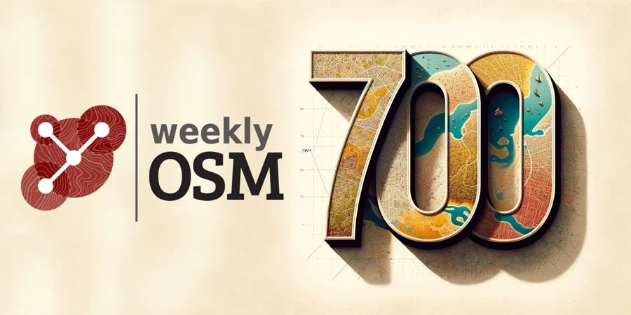
12/12/2023-18/12/2023 Senza parole – generato da DALL-E AI Chi siamo Cari lettori di weeklyOSM,siamo lieti di presentarti il 700° numero di weeklyOSM. Per oltre 13 anni abbiamo raccontato gli…
Articoli completi (in inglese): https://zenodo.org/records/10443403 Raccolta dei singoli papers (in inglese): https://zenodo.org/communities/osmscience-2023
Fonte: OSMScience su Mastodon https://mastodon.world/@osmscience/111698886210128605
https://native-land.ca/
Native Land is a resource to learn more about Indigenous territories, languages, lands, and ways of life. We welcome you to our site.
https://nominatim.org/2023/12/19/roadmap-nominatim5.html
The version 4.x series of Nominatim has seen some major changes to the code.Both, the database import and the search frontend have received majorupdates and ...
https://josm.openstreetmap.de/ticket/23107
https://en.osm.town/@openstreetmap/111120663721969898
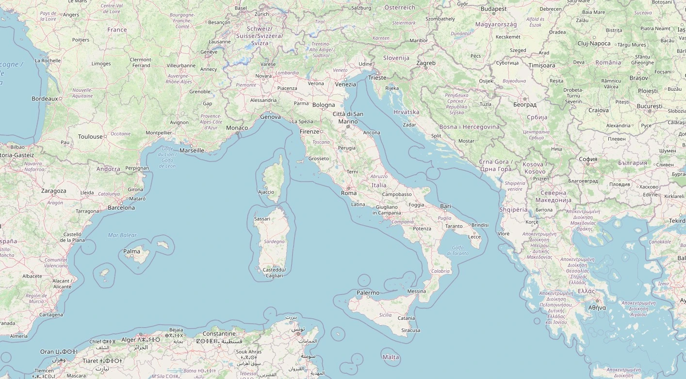
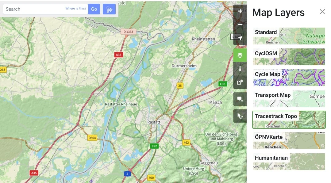
Attached: 1 image There's a new map style on OpenStreetMap.org! The Tracestrack Topo map from @tracestrack. It's a mix of osm-carto and OpenTopoMap. It has many improvements: more tag support (busway, embankment, cuisine, solar plants, aquaculture, pitch, sea, tree etc.), CJK fonts, etc. There is also better internationalisation: country specific road shields, peaks using imperial system in the US, hierarchical place rendering in China, etc. #OpenStreetMap #OSM #gischat #maps
https://stateofthemap.eu/call-for-maps
https://www.localguidesconnect.com/t5/Highlights/Join-Road-Mapper-and-help-people-navigate-better-with-Google/ba-p/3653678
Since the launch of Road Mapper in 2021, our passionate contributors have mapped over 1.5 million kilometers of roads and enabled more than 200 million people to navigate with Google Maps. Their contributions have made a real difference in people's lives worldwide. We're excited to announce that w...